Key Points
- Cardiff Council planners have formally approved a major public realm project to transform Kingsway into a tree-lined, largely pedestrianised civic square.
- Official planning documents described the current Kingsway area as “neglected and unsafe,” citing heavy traffic, deteriorating surfaces, vehicle pollution, and an aging subway underpass.
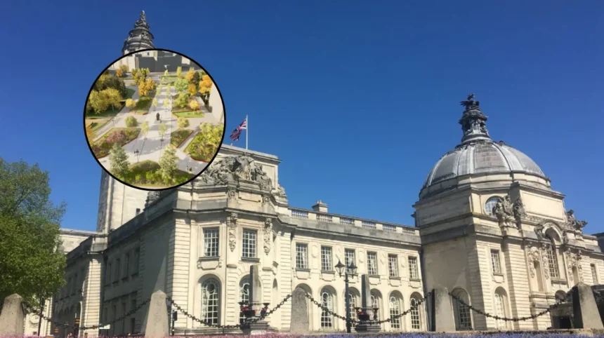
- The overhaul will feature wide footways, well-lit step-free pedestrian crossings, integration with Friary Gardens and Cathays Park, urban greenery, benches, and space for cafe spill-outs.
- The physical infrastructure overhaul includes removing the outdated Kingsway pedestrian subway and relocating historic monuments, such as the 2nd Marquess of Bute statue and the Nereid Statue.
- The project serves as a key public realm element of Phase 1a of the wider Cardiff to Newport Sustainable Transport Corridor, which includes new cycleways, rain gardens, and bus priority measures.
- Vehicle access to the newly designated civic zone will be strictly restricted to maintenance vehicles and setup access for organized community events or markets.
- Tender processes for construction are set to begin in summer 2026, with major work on site expected to commence in early 2027 and reach completion by summer 2028.
Cardiff (Cardiff Daily) August 20, 2026 – Major works to completely transform a key urban thoroughfare in Cardiff city centre that has been officially branded as “neglected and unsafe” have been given formal planning approval. Council planners have officially passed the comprehensive overhaul scheme for Kingsway, paving the way for the construction of a largely pedestrianised, tree-lined boulevard and public square designed to blend green infrastructure with improved active travel links.
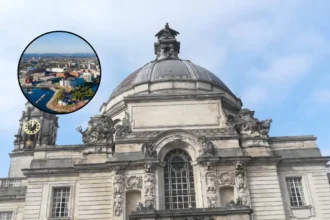
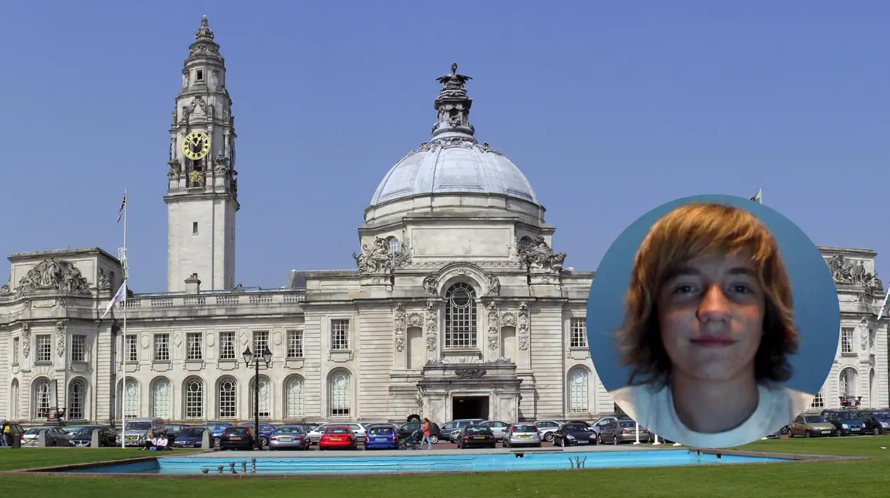
The development focuses on the high-traffic junction where Kingsway meets Boulevard De Nantes, a site framing iconic city landmarks including City Hall and the National Museum Wales. As reported by Local Democracy Reporter Kieran Molloy of Nation.Cymru, planning application documents submitted for the scheme explicitly state that the current Kingsway space suffers from critical visual and structural degradation. As reported by Kieran Molloy of Nation.Cymru, planning documents outline:
“Poor maintenance – such as worn road markings, dated surfaces – reinforce the sense of decline, while vehicle pollution added to the area’s unappealing character. As a result, Kingsway has become a place that people pass through rather than a destination, contributing to a long-term perception of it as run-down.”
The newly approved blueprint aims to convert the space into an event-ready civic destination that prioritises foot traffic, wheeling, and cycling over motor vehicles.
How Will the Kingsway Redesign Change the Urban Landscape?
The design proposal focuses on human-centric urban design, converting a space historically dominated by heavy commuter traffic into an accessible, well-lit pedestrian zone. The core area of the public square will sit at the intersection between Boulevard De Nantes and Kingsway.
Key infrastructure changes include:
- Subway Demolition: The aging, dark Kingsway pedestrian subway leading towards the civic centre will be entirely removed and backfilled.
- At-Grade Crossings: Direct, well-lit, step-free street-level crossings will replace the underpass to establish clear lines of sight and improve personal safety.
- Pedestrian Integration: The square will feature wide stone pavements, new public seating, urban trees, and direct pedestrian links through Friary Gardens via accessible ramps.
- Monuments and Heritage: Historic public art will be repositioned to enhance the civic character. Plans detail moving the statue of the 2nd Marquess of Bute from Callaghan Square into a prominent position on the new square, while moving the Nereid Statue to an accessible green space.
- Commercial and Event Space: Dedicated areas for flexible uses have been integrated into the layout to support pop-up markets, community performances, outdoor gatherings, and cafe spill-out seating.
As reported by Kieran Molloy of Nation.Cymru, official planning documents detail that vehicle entry into the central zone will be strictly limited:
“By prioritising pedestrians and cyclists, and limiting vehicle access to controlled situations, the Kingsway public realm provides a safe, adaptable, and people-focused environment that supports sustainable mobility, social activity, and the long-term vitality of Cardiff’s city centre.”
What Role Does Kingsway Play in Wider Regional Transport Plans?
The Kingsway public realm project forms a critical physical anchor for Phase 1a of the broader Cardiff to Newport Sustainable Transport Corridor. The broader regional project aims to build dedicated active travel and public transit infrastructure extending from central Cardiff eastward toward St Mellons and the boundary with Newport.
As reported by Bryana Francis of WalesOnline, Councillor Dan De’Ath, Cardiff Council’s Cabinet Member for Climate Change, Strategic Planning and Transport, stated:
“The first phase of this scheme will be an important step towards significantly improving Kingsway and creating sustainable transport options from Cardiff to the eastern boundary of the city. We must build the infrastructure needed to make sustainable travel more attractive, including walking, cycling and public transport, to encourage people to leave their cars at home. This will support healthier lifestyles and help tackle climate change.”
The active travel additions will introduce a fully segregated cycleway through Kingsway, replacing temporary “pop-up” bike lanes.
This cycle route will connect directly with Cycleway 1 (running towards the University Hospital of Wales in Heath) as well as the Roath Park cycleway (Cycleway 6) and the Rhymney Trail.
Environmental mitigation measures are also integrated directly into the streetscape. Integrated rain gardens and sustainable urban drainage systems (SuDS) will manage surface stormwater runoff, while extended canopy tree planting is planned to combat urban heat island effects and improve localized air quality.
What Is the Timeline and Funding Breakdown for Construction?
With full planning consent now secured, Cardiff Council is moving forward with procurement and developer engagement.
Funding for Phase 1a of the Sustainable Transport Corridor is pooled from multiple public sector funds, including grants from the Welsh Government’s Regional Transport Fund, the Burns Grant Fund, and Cardiff Council’s Capital Programme.
The specific public realm, landscaping, and civic square works at Kingsway are financed directly through the council’s dedicated Parking Reserve account.
Explore More Cardiff Council News
Cardiff Council Cleared Over Bute Park Planning Law Concerns, Cardiff 2026
ABP Plans Major Industrial Demolition at Port of Cardiff 2026
Background of the Kingsway Urban Development
Kingsway has historically served as one of central Cardiff’s primary multi-lane urban arterial corridors, funneling traffic between the civic centre at Cathays Park, the commercial core around Queen Street, and key eastern commuter arteries like Newport Road.
Over past decades, vehicular prioritization transformed the space into a heavily congested environment dominated by cars, buses, and surface parking runs.
To separate pedestrians from high-density traffic, 20th-century urban planners constructed a subterranean pedestrian subway beneath Kingsway. Over time, however, subways of this era fell out of favor across UK urban centers due to accessibility barriers for mobility-impaired residents, poor natural lighting, anti-social behavior, and ongoing maintenance challenges.
In recent years, local business groups, residents, and active travel campaigners have highlighted Kingsway as a severance point—a physical barrier cutting off the civic quarter (containing Cathays Park, City Hall, and the National Museum) from the retail core.
Public consultations conducted by Cardiff Council indicated widespread concern over vehicle pollution, poor crossing visibility, and deteriorating highway surfaces, prompting the local authority to draft a masterplan focused on urban greening, modal shift, and public realm restoration.
Prediction: How This Development Will Affect Key Stakeholders
The transformation of Kingsway into a green, pedestrian-focused public square will directly impact several key demographics across Cardiff over the coming years:
The removal of the dark subway in favour of step-free, well-lit surface crossings will immediately improve personal safety and accessibility for elderly residents, wheelchair users, and parents with pushchairs. The addition of public benches, green spaces, and reduced traffic noise is expected to shift Kingsway from an unpleasant transit corridor into a welcoming residential and leisure destination.
Commuters using bicycles or scooters will gain safe, continuous access through one of Cardiff’s busiest central nodes. By replacing temporary pop-up lanes with permanent, high-quality cycle paths connected to regional routes, the scheme will significantly reduce conflict between cyclists, pedestrians, and motor vehicles, likely boosting active travel uptake across eastern Cardiff.
While construction between 2027 and 2028 may cause temporary access disruptions, the long-term economic outlook for nearby traders is positive.
The creation of event space for markets and outdoor cafe spill-outs will increase footfall between the retail core and Cathays Park, driving higher visitor numbers for local hospitality venues and cultural institutions like the National Museum.
Motorists will face restricted vehicle access through Kingsway, likely leading to rerouted traffic patterns and potentially longer driving times along central east-west corridors during peak hours. However, bus passengers are expected to benefit over time from dedicated bus priority measures designed to improve timetable reliability along the wider Newport Road corridor.