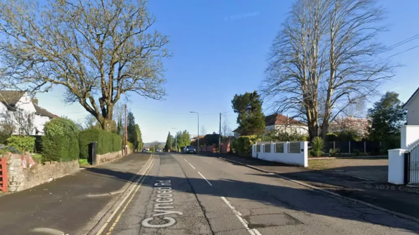
Cyncoed Road is an essential geographic and residential transport corridor situated in the northeastern quadrant of Cardiff, Wales. The thoroughfare serves as the infrastructure spine for the affluent community of Cyncoed, a suburb universally recognized for its high property valuations, low crime indices, and top-tier educational institutions. This comprehensive guide establishes the macro-level demographic and economic profile of Cyncoed Road, outlines its precise historical evolution from an agricultural trackway to a premier residential artery, and details the infrastructure components that drive its enduring market value.
- What is Cyncoed Road and where is it located?
- How did Cyncoed Road develop historically?
- What are the current property market trends on Cyncoed Road?
- Which schools fall into the Cyncoed Road catchment area?
- What higher education facilities are located on Cyncoed Road?
- How is public transport structured along Cyncoed Road?
- What local amenities and retail options exist on Cyncoed Road?
- What green spaces and recreational areas border Cyncoed Road?
- How safe is the Cyncoed Road residential corridor?
- What are the future infrastructure plans for Cyncoed Road?
What is Cyncoed Road and where is it located?
Cyncoed Road is a major residential and transport thoroughfare situated in the northeastern district of Cardiff, Wales, bearing the CF23 postcode. It spans approximately two miles, connecting the Penylan district to the southern edge of the Lisvane community.
Geographically, Cyncoed Road operates as the primary arterial route through the electoral ward and community of Cyncoed, which sits at an elevated topographic position overlooking the Roath Park valley. The road begins at its southern intersection with Penylan Road and Ty-Gwyn Road, extending northward to terminate near the junction of Fidlas Road and Rhydypenau Road. This trajectory positions Cyncoed Road as a crucial vector of connectivity between the inner-northeastern suburbs and the outer northern limits of the Welsh capital.
The legal and administrative boundaries of the Cyncoed ward encompass this entire roadway. According to official data from the Office for National Statistics, the localized geography features an extraordinarily stable socio-economic profile, with a high concentration of professional-class households and retired individuals. The road itself is characterized by a mature tree canopy, wide verges, and substantial building setbacks, creating a distinct environmental microclimate that visually distinguishes it from neighboring high-density urban wards such as Cathays or Adamsdown.
How did Cyncoed Road develop historically?
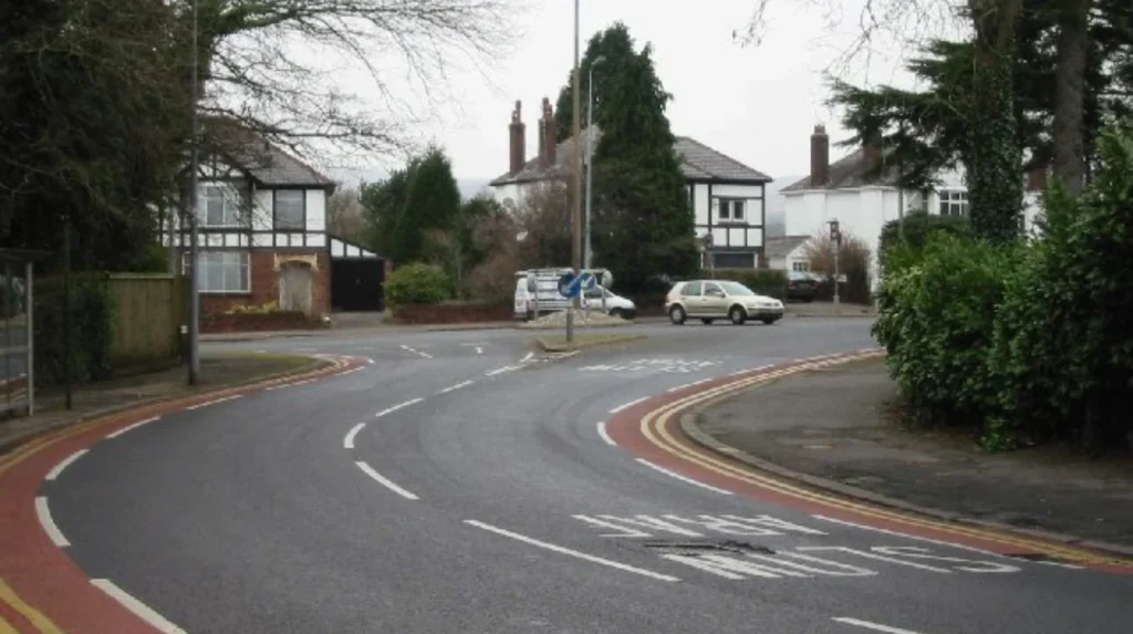
Cyncoed Road developed from an unnamed, rural agricultural trackway connecting medieval farmsteads into a formalized, macadamized transport corridor during the late nineteenth and early twentieth centuries. This transition mirrored the rapid industrial wealth expansion of the Cardiff Docks.
The word Cyncoed translates from the native Welsh language as “head of the wood,” indicating the historic presence of the ancient oak woodlands that covered the uplands of Glamorgan. Prior to the industrialization of the region, the land flanking Cyncoed Road was divided into extensive agricultural estates and smallholdings managed under traditional tenant farming agreements. The transformation of this infrastructure accelerated during the late Victorian era as prominent industrial families sought to escape the industrial pollution concentrated near the central urban core and the Cardiff maritime trading center.
The definitive structural transition occurred during the interwar period of the 1920s and 1930s. During this era, large tracts of farmland were systematically purchased by speculative building firms, including developers who specialized in high-specification detached and semi-detached architectural styles. The introduction of municipal water systems, gas lighting pipelines, and electrical grids along Cyncoed Road during this timeframe established the baseline infrastructure that attracted upper-middle-class residents.
Following the conclusion of World War II, further planned infill developments occurred throughout the 1950s and 1960s, which completely erased the remaining agrarian character of the area. This postwar expansion included the formal creation of the adjacent Lakeside estate, centered around Celyn Avenue, and the construction of dedicated institutional facilities along Cyncoed Road, including the establishment of teacher training colleges that later evolved into modern university infrastructure.
What are the current property market trends on Cyncoed Road?
The property market on Cyncoed Road exhibits some of the highest residential valuations in Wales, characterized by average house prices consistently exceeding £600,000. The market is defined by a low transaction volume and sustained premium asset appreciation.
Land registry data confirms that property valuations along Cyncoed Road maintain a substantial premium relative to both the wider Cardiff average and the national baseline for Wales. Premium detached executive homes, many featuring five or more bedrooms, frequently command transactional values between £900,000 and £1.5 million. Notable architectural examples, such as the converted historic landmark known as The Water Tower located at 80 Cyncoed Road, secured a market transaction value of £1.3 million, proving the high financial index attached to unique structural assets on this specific street.
The mechanisms driving these elevated valuations include strict spatial scarcity and immutable consumer demand. Because Cyncoed Road is fully developed, new-build housing supply is structurally restricted to occasional brownfield plot redevelopments or the demolition of existing single dwellings to create low-density luxury apartment configurations, such as the units found at Seren Court. This structural supply ceiling ensures that whenever a primary asset enters the market, it commands immediate competitive attention from affluent demographics.
Furthermore, property on Cyncoed Road displays significant resilience during macroeconomic market corrections. This stability is directly correlated with the financial profiles of purchasers in the CF23 sector, who typically leverage high levels of existing equity and substantial cash reserves, rendering the localized market less sensitive to fluctuations in institutional mortgage interest rates.
Which schools fall into the Cyncoed Road catchment area?
Cyncoed Road is served by top-performing state schools, including Cardiff High School and Rhydypenau Primary School. These educational institutions consistently achieve highest-tier evaluations from Estyn, the education and training inspectorate for Wales.
The educational infrastructure linked directly to Cyncoed Road constitutes a primary driver of the localized real estate economy. The road sits entirely within the strictly enforced geographic catchment boundaries of Cardiff High School, an 11-to-18 secondary school located in nearby north Penylan. Cardiff High School is statistically verified as one of the highest-performing state-funded secondary schools in the United Kingdom, frequently occupying top-five positions within national academic league tables based on General Certificate of Secondary Education (GCSE) and Advanced Level (A-Level) performance metrics.
For primary-age education, Cyncoed Road is split between two primary catchment zones:
- Rhydypenau Primary School: Situated at the northern terminus of the road, this school provides early-years education to the majority of northern Cyncoed residents.
- Lakeside Primary School: Located slightly west of Cyncoed Road, this facility handles the intake for the southern and central sections of the corridor.
Both primary institutions function as direct feeder schools for Cardiff High School, creating a seamless, localized educational pathway that families actively prioritize. The financial premium paid by home purchasers to secure a residential address on Cyncoed Road is heavily influenced by these specific school boundaries, as Cardiff Council strictly enforces catchment rules during the annual school admissions allocation process, leaving non-resident applicants with a statistically negligible probability of securing enrollment.
What higher education facilities are located on Cyncoed Road?
Cyncoed Road directly hosts the Cyncoed Campus of Cardiff Metropolitan University, located at the northern sector of the thoroughfare. This major campus serves as the operational headquarters for two primary academic faculties.
The Cyncoed Campus of Cardiff Metropolitan University is a self-contained, high-density institutional site that exerts a substantial economic and demographic influence on Cyncoed Road. The campus houses the Cardiff School of Education & Social Policy alongside the globally recognized Cardiff School of Sport & Health Sciences. These departments attract thousands of full-time undergraduate and postgraduate students to the area annually, introducing a dynamic, transient population into an otherwise quiet, low-density residential suburb.
Architecturally and logistically, the campus features extensive student accommodation blocks, specialized lecture halls, and the National Indoor Athletics Centre (NIAC). The NIAC is a state-of-the-art sports science and training facility used by both elite international athletes and local sports clubs, positioning Cyncoed Road as a center of gravity for athletic development within Wales.
The presence of the university campus necessitates dedicated corporate traffic management and sustainability strategies. To mitigate the environmental impact of student commuters, Cardiff Metropolitan University operates 12 high-capacity electric vehicle charging points (22kW) on-site and provides subsidized public transport alternatives. This institutional presence ensures that the northern half of Cyncoed Road retains a continuous, high-frequency link to the city’s broader economic and intellectual framework.
How is public transport structured along Cyncoed Road?
Public transport along Cyncoed Road is managed via high-frequency municipal bus routes operated by Cardiff Bus, supplemented by nearby heavy rail stations. These systems link the suburb directly to the central commercial core of Cardiff.
The primary public transit asset operating directly on the roadway is the Cardiff Bus Route 52. This municipal service runs with high frequency throughout the calendar week, departing from Customhouse Street in the city center and traveling along the full length of Cyncoed Road before terminating inside the Cardiff Metropolitan University Cyncoed Campus loop. The service runs on an hourly schedule during off-peak windows, with increased frequencies every 30 minutes during peak morning and evening commuting times to accommodate corporate workers and university students.
While Cyncoed Road does not contain an internal heavy rail station within its immediate curtilage, its transport ecosystem relies heavily on three proximate rail installations:
- Heath High Level Railway Station: Located approximately a 25-minute walk westward, providing direct northern suburban transport via the Rhymney Line.
- Heath Low Level Railway Station: Situated adjacent to the High Level station, offering transit options via the Coryton Line.
- Llanishen Railway Station: Located to the northwest, serving professionals commuting into Cardiff Central or northern employment hubs.
The integration of these transport mechanisms ensures that residents can access the central business district within a 15-to-20-minute transit window. For active travel commuters, Cyncoed Road is integrated into the broader Cardiff Council strategic cycle network, featuring marked lanes and connecting directly to traffic-free paths that bypass major highway congestion on parallel routes like the A4232 or Newport Road.
What local amenities and retail options exist on Cyncoed Road?
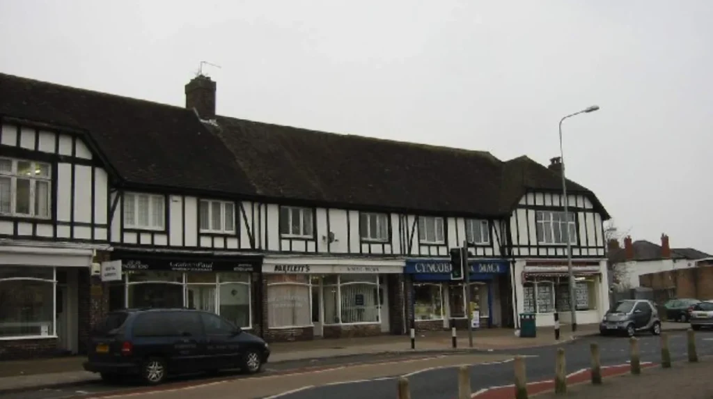
Local retail and commercial amenities on Cyncoed Road are intentionally restricted to low-density suburban nodes, anchored by Cyncoed Village at the intersection of Clear Water Way. This layout preserves the quiet residential character of the thoroughfare.
The commercial zoning along Cyncoed Road is highly controlled by the local planning authority to prevent the encroachment of large-scale industrial or high-density retail units. The primary commercial nucleus is known locally as Cyncoed Village, situated where Cyncoed Road intersects with Rhydypenau Road and Clear Water Way. This precinct features a targeted collection of independent commercial enterprises, including boutique local bistros, specialty retail outlets, and professional financial and legal services.
Essential daily amenities are clustered within the Clear Water Way shopping parade, located just off the main road axis. This micro-development provides vital community services, including an independent local pharmacy, medical practice facilities, and convenience retail options. This intentionally constrained commercial footprint means that for large-scale grocery procurement, residents routinely travel a short distance to the neighboring commercial zones of Llanishen or Wellfield Road in Roath.
The focus on independent local business promotion aligns with the demographic preferences of the Cyncoed population. This commercial model ensures that while basic daily needs are fully satisfied within walking distance, the streetscape remains free from the high traffic volumes, noise pollution, and litter loads typically associated with major suburban retail parks or national supermarket developments.
What green spaces and recreational areas border Cyncoed Road?
Cyncoed Road is bordered by premier green assets, including the eastern perimeter of Roath Park, the Nant Fawr Woodlands, and the private grounds of Cardiff Golf Club. These spaces provide high ecological value and extensive recreational utilities.
The environmental layout of Cyncoed Road is defined by its close proximity to some of the most significant parklands in South Wales. At its southern end, the road connects directly with the trail networks leading into Roath Park, a Grade I listed historic parkland featuring a 30-acre man-made leisure lake, botanical conservatories, and protected wildflower areas. This proximity grants residents immediate access to extensive outdoor walking infrastructure and watersports facilities.
Moving northward along the corridor, the road interfaces directly with two major green expanses:
- Nant Fawr Woodlands: A protected local nature reserve consisting of semi-natural ancient woodland, meadows, and wetlands that form a vital continuous wildlife corridor through the northeast of the city.
- Cardiff Golf Club: Established in 1921, this private 18-hole parkland course flanks the eastern side of Cyncoed Road, providing a large, manicured green buffer that structurally prevents urban sprawl.
The presence of these environmental buffers significantly enhances the local air quality indices and lowers urban heat island risks along the Cyncoed Road corridor. These spaces are managed in partnership with Cardiff Council and volunteer conservation groups, ensuring that the unique biodiversity of the Nant Fawr corridor—including protected species of native raptors and bats—is preserved amid ongoing regional infrastructure shifts.
How safe is the Cyncoed Road residential corridor?
Cyncoed Road maintains a highly secure status, with localized crime statistics revealing an overall crime rate that is 62% lower than the regional average for South Glamorgan. The area displays exceptionally low rates of anti-social behavior.
Data compiled by the South Wales Police department confirms that Cyncoed consistently ranks among the top three safest electoral wards in the city of Cardiff. The structural design of Cyncoed Road—featuring large detached properties with advanced security systems, well-lit pedestrian pathways, and a high percentage of owner-occupancy—acts as a natural deterrent to criminal activity. Property crimes, such as burglary or vehicle theft, are statistically rare along this thoroughfare.
The prevailing security profile is reinforced by an active Neighborhood Watch network and close coordination with localized police teams based out of the nearby station infrastructure. Anti-social behavior indices are negligible, which is a direct consequence of the low density of late-night commercial entertainment venues and the predominantly family-oriented demographic base.
This safety profile serves as an institutional reassurance for both incoming families and elderly residents, reinforcing the long-term asset value of real estate along the street. The low probability of civil disruption or criminal incursions guarantees that Cyncoed Road remains a highly stable location for capital investment and long-term residential settlement.
What are the future infrastructure plans for Cyncoed Road?
Future plans for Cyncoed Road center on active travel highway upgrades, municipal environmental protection frameworks, and integration with the broader Cardiff Crossrail transport network. These initiatives aim to preserve local assets while improving city connectivity.
The future evolution of Cyncoed Road is legally governed by the Cardiff Local Development Plan (LDP). The primary civil engineering focus along the corridor involves the systematic installation of Sustainable Urban Drainage Systems (SuDS) to handle rainwater runoff from the elevated topography of the hill down toward the Roath Park basin. This engineering strategy uses permeable surfaces and rain gardens to prevent localized flash flooding risks and protect the water quality of the adjacent reservoirs.
Furthermore, Cardiff Council has designated Cyncoed Road as a priority zone for active travel improvements. These upcoming highway adjustments will introduce dedicated, physically segregated cycling tracks and upgraded pedestrian crossing points, aimed at reducing short-distance vehicular journeys to the local primary and secondary schools.
While Cyncoed Road will not see high-density physical building construction, its transport routes are designed to sync with the upcoming phases of the Cardiff Crossrail project. This regional mass-transit initiative will optimize bus-to-rail transfers at surrounding stations, ensuring that while the physical streetscape of Cyncoed Road retains its historic, low-density character, its population remains fully integrated into the economic future of the Cardiff capital region.
What is Cyncoed Road?
Cyncoed Road is a major residential and transport corridor in northeast Cardiff that runs through the affluent suburb of Cyncoed. It connects Penylan with Rhydypenau and Lisvane and forms one of the main north–south routes in the CF23 area.