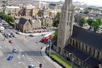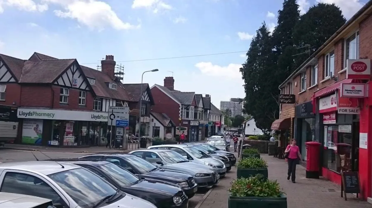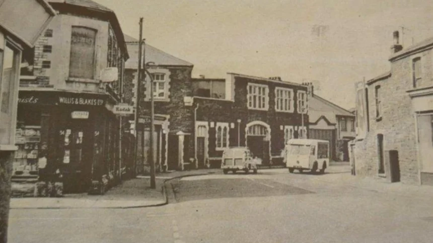
The forgotten buildings of Splott comprise the demolished industrial complexes, Victorian terraced housing blocks, and community institutions that once occupied Lower Splott and the East Moors district of Cardiff, Wales, before sweeping 1970s urban clearance projects erased them.
- Why were the original industrial and residential structures in Splott demolished?
- What role did the East Moors Steelworks play in shaping the built environment of Splott?
- How do contemporary cartography and urban archaeology trace these vanished architectural landmarks?
- What are the long-term socioeconomic and architectural implications of these lost structures for modern Cardiff?
The district of Splott evolved from coastal marshland and agricultural holdings—specifically Upper Splott Farm and Lower Splott Farm—into a densely packed working-class suburb during the late 19th century. This rapid urbanization directly mirrored the meteoric rise of South Wales as a global industrial powerhouse.
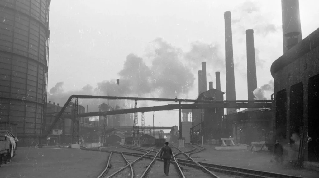
The epicenter of this industrial footprint was the East Moors Steelworks, which opened in 1891 and eventually spanned massive acreage alongside the Cardiff docks. Surrounding this colossal manufacturing plant were 17 distinct residential streets, including Bridgend Street, Menelaus Street, Layard Street, and Enid Street. These thoroughfares were lined with tightly knit Victorian bay-windowed houses, corner shops, public houses, and non-conformist chapels that served thousands of steelworkers and their families. Today, these structures exist only in historical archives, archaeological records maintained by the Royal Commission on the Ancient and Historical Monuments of Wales (RCAHMW), and the oral histories of displaced residents.
Why were the original industrial and residential structures in Splott demolished?
The original residential and industrial structures in Splott were demolished between the late 1960s and the 1970s due to the closure of the East Moors Steelworks, severe post-industrial economic decline, and municipal slum clearance initiatives targeting substandard Victorian housing conditions.
By the early 1970s, the socioeconomic landscape of Cardiff underwent a radical transformation. The East Moors Steelworks, despite a 1930s modernization program that made it one of the most advanced plants of its era, struggled intensely against mounting international competition, shifting global steel markets, and high operational costs. The British Steel Corporation closed the works permanently in 1936, though production had peaked decades prior before final cessation, throwing thousands out of work and removing the primary economic engine of South Cardiff.
Simultaneously, the surrounding housing stock failed to meet modern public health standards. Municipal surveys indicated that nearly 63 percent of homes in parts of Splott lacked internal sanitation facilities as late as 1971. Local authorities initiated compulsory purchase orders and clearance schemes. Over 1,100 homes were systematically bulldozed, displacing approximately 5,300 residents. Entire street grids were wiped off official ordnance survey maps, leaving behind vacant brownfield plots, industrial estates like Portmanmoor Road, and a fractured community memory.
What role did the East Moors Steelworks play in shaping the built environment of Splott?
The East Moors Steelworks shaped the built environment of Splott by dictating urban expansion, funding local infrastructure through industrial patronage, and creating a specialized working-class ecosystem defined by proximity to heavy metallurgical production.
Established by Guest, Keen and Nettlefolds (GKN), the steelworks capitalized on Cardiff’s coastal docks for raw material imports and export logistics, bypassing older inland production sites in Merthyr Tydfil. At its operational peak, the facility employed over 7,000 workers, attracting economic migrants from the Welsh Valleys, Ireland, and beyond. This influx necessitated immediate, high-density residential construction.
Architects and developers such as Habershon and Fawckner laid out the grid system for the Tredegar Estate, erecting rows of two-story brick homes interspersed with utilitarian board schools, Anglican churches like St Saviour’s, and Methodist chapels. However, the environmental cost was extreme. The steelworks discharged heavy smoke, sulfurous gases, and industrial waste across the suburb. Molten slag was routinely tipped onto peripheral mudflats near the coast, creating unstable terrain characterized by industrial fill, broken refractory bricks, and slag fragments that occasionally reacted violently when contacting standing water.
Explore More Area Guide
Exploring Hidden Streets in Roath, Cardiff [2026]
Secret Gardens in Cardiff: Hidden Parks Guide 2026
How do contemporary cartography and urban archaeology trace these vanished architectural landmarks?
Contemporary cartography and urban archaeology trace vanished Splott landmarks by cross-referencing late-19th-century Ordnance Survey county series maps, tithe surveys, Cadw architectural records, and archaeological excavations of industrial slag deposits.
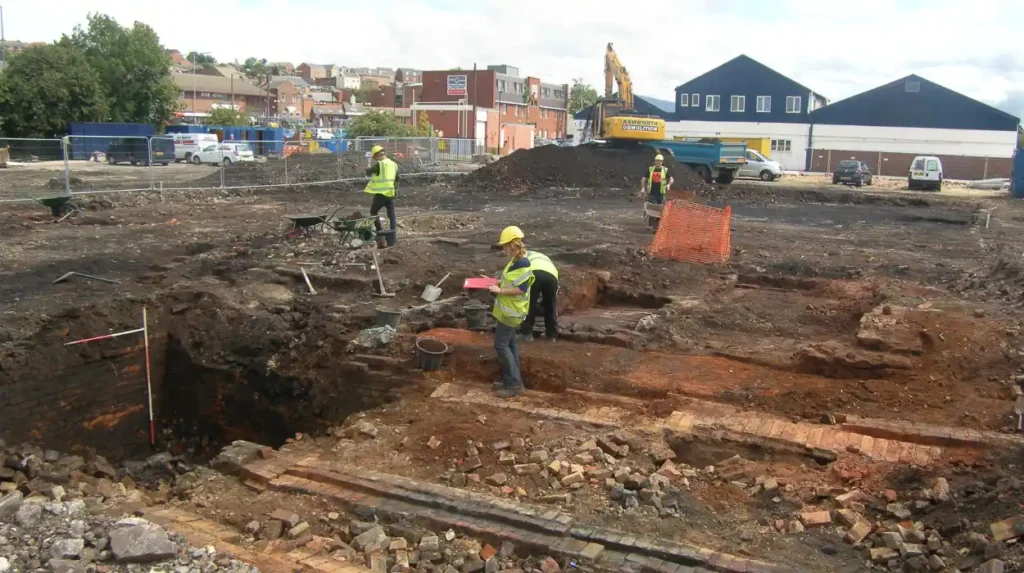
Modern understanding of lost Splott relies heavily on archival preservation. The RCAHMW digital database catalogues precise structural dimensions, architectural styles, and photographic surveys of demolished sites such as the Mount Zion Chapel on Aberdovey Street and the various Methodist mission halls. Ordnance Survey maps from the first through fourth editions document the rapid evolution from open marshland and rural drainage ditches in 1880 to a dense urban grid by 1900, followed by the sudden white spaces of the 1970s clearances.
Archaeologically, the intertidal zones and brownfield sites along Portmanmoor Road and the foreshore contain tangible remnants of this era. Field surveys recover structural bricks stamped with the names of nineteenth-century regional manufacturers, foundations of boundary walls, and preserved timber fish traps dating back to industrial-era river management. These material artifacts provide empirical validation for historical accounts of Cardiff’s heavy industrial age, ensuring that the footprint of the lost streets remains mapped within historical geography.
What are the long-term socioeconomic and architectural implications of these lost structures for modern Cardiff?
The long-term socioeconomic and architectural implications of lost structures in Splott include the permanent reshaping of Cardiff’s urban topography, the transition of docklands into post-industrial service economies, and the rise of localized historical preservation movements.
The eradication of Lower Splott’s residential fabric set a direct precedent for the later, more expansive redevelopment of the Cardiff Bay docklands. As heavy manufacturing retreated from the Welsh capital, city planners pivoted toward commercial, residential, and leisure regeneration. Former industrial zones transformed into modern distribution hubs, retail parks, and light industrial estates, completely replacing the socio-spatial dynamics of the Victorian era.
Architecturally, the loss of these buildings catalyzed a shift in how local heritage is valued. Grassroots community groups, local history societies, and digital preservation projects now actively document surviving Victorian edifices—such as Moorland Primary School and specific ecclesiastical buildings repurposed for community use—to prevent further erasure. The memory of the 17 lost streets persists through cultural touchstones, including amateur sports clubs like the Bridgend Street Football Club, ensuring that the legacy of Cardiff’s vanished industrial working class remains integrated into the civic identity of South Wales.
What caused the disappearance of many historic buildings in Splott?
Many historic buildings in Splott disappeared because of industrial decline, the closure of the East Moors Steelworks, and large-scale housing clearance programmes during the late 1960s and 1970s. Poor housing conditions and changing urban planning priorities led to the demolition of entire streets.
![Exploring Hidden Streets in Roath, Cardiff [2026]](https://cardiffdaily.co.uk/wp-content/uploads/2026/08/Exploring-Hidden-Streets-in-Roath-Cardiff-2026-150x150.webp)