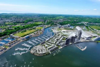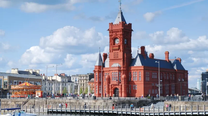
Cardiff Bay is primarily covered by Butetown electoral ward, one of Cardiff Council’s 28 current electoral wards. The wider Cardiff Bay area also extends into Grangetown ward, so the exact ward depends on the address. Cardiff Bay is not itself a single Cardiff Council electoral ward.
- What electoral ward covers Cardiff Bay?
- Why is Butetown associated with Cardiff Bay?
- Does all of Cardiff Bay belong to Butetown ward?
- Which parts of Cardiff Bay are associated with Butetown?
- Which parts of Cardiff Bay are associated with Grangetown?
- When did the current Cardiff electoral ward structure take effect?
- How many councillors represent the Butetown ward?
- Is Cardiff Bay also part of the Cardiff South and Penarth constituency?
- Is Cardiff Bay a community as well as a geographical area?
- How can you check the electoral ward for a Cardiff Bay address?
- Does the electoral ward affect local services in Cardiff Bay?
- How does the Cardiff Bay ward boundary matter to residents and businesses?
- What should you remember about the Cardiff Bay electoral ward?
Cardiff Bay is one of the most recognisable waterfront areas in the Welsh capital. It includes major visitor destinations, residential developments, cultural buildings, business districts, public spaces and waterfront infrastructure. Its electoral geography is therefore important for residents, visitors, businesses and anyone checking local representation.
The key distinction is between Cardiff Bay as a geographical area and an electoral ward used for local government elections. These boundaries do not always match.
For most central Cardiff Bay locations, the relevant Cardiff Council ward is Butetown. Parts of the wider bay area, particularly toward the south and around the International Sports Village, fall within Grangetown ward. Cardiff Council itself identifies Butetown and Grangetown as separate electoral wards within its local administrative structure.
What electoral ward covers Cardiff Bay?
Butetown is the main Cardiff Council electoral ward covering Cardiff Bay, while parts of the wider Cardiff Bay area fall within Grangetown ward. The exact ward depends on the property or street because Cardiff Bay crosses an electoral boundary.
An electoral ward is a defined geographical area used to elect councillors to a local authority. In Cardiff, these are the areas represented by Cardiff Council members.
Cardiff currently has 28 electoral wards and 79 councillors. Local government elections choose councillors to represent these wards. Cardiff Council states that local government elections are held every five years.
Butetown is the ward most closely associated with central Cardiff Bay. Cardiff Council documents identify Cardiff Bay parking areas within the Butetown ward, including streets around the waterfront such as Bute Street, Clarence Embankment, Bute Esplanade and Windsor Esplanade.
The distinction becomes important because the name “Cardiff Bay” describes a broader geographic and urban area rather than one complete electoral unit.
The southern and western parts of the wider bay area connect with Grangetown. Cardiff Council’s planning material groups Butetown and Grangetown within the Cardiff City and South neighbourhood planning area.
This means a person searching for “Cardiff Bay ward” should not assume that every property described locally as being in Cardiff Bay belongs to Butetown.
Why is Butetown associated with Cardiff Bay?
Butetown is closely associated with Cardiff Bay because the ward contains central waterfront districts including Butetown and Atlantic Wharf. Cardiff Council also places major Cardiff Bay infrastructure and projects in Butetown, making it the principal electoral ward for the central bay area.
Butetown has a long connection with Cardiff’s docklands and waterfront.
The area developed around Cardiff’s historic port. The docks were central to the export economy of industrial South Wales, particularly during the period when coal exports transformed Cardiff into a major international port.
Modern Cardiff Bay developed after the decline of the traditional dock economy. Large regeneration projects transformed former dockland areas into residential, commercial, cultural and leisure districts.
The modern ward therefore contains both historic communities and newer waterfront development.
Cardiff Council identifies Atlantic Wharf as part of Butetown ward. The council’s Atlantic Wharf Growth Fund specifically applies to businesses located within Butetown ward and describes the Atlantic Wharf redevelopment as a major strategic project for Cardiff Bay.
Central Cardiff Bay also contains important civic and cultural locations. The council’s conservation information lists Mount Stuart Square and Pierhead conservation areas under the Butetown ward.
This provides another practical indication of the relationship between Butetown and the central bay.
Does all of Cardiff Bay belong to Butetown ward?
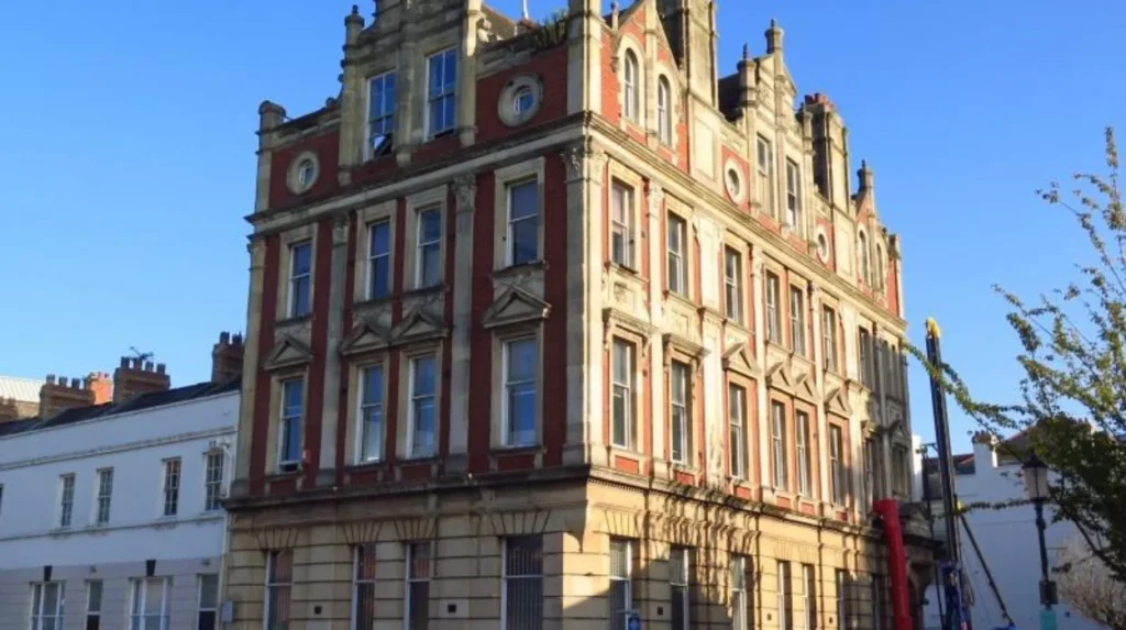
No. Cardiff Bay is not entirely contained within Butetown ward. The wider Cardiff Bay area crosses into Grangetown, particularly toward the southern waterfront and International Sports Village, so an individual address must be checked against the current electoral boundary.
This is the most important qualification when answering the question.
The term “Cardiff Bay” has several uses. It can describe the waterfront destination, the regeneration area, the surrounding neighbourhoods or the broader urban area around the bay.
Electoral boundaries use defined lines that do not necessarily follow the informal boundaries people use when describing neighbourhoods.
Older descriptions of Cardiff’s wards show the same distinction. Historical ward information identified Butetown as covering Cardiff Bay, while Grangetown also included part of Cardiff Bay.
Cardiff Council’s own neighbourhood planning structure also lists Butetown and Grangetown as separate wards within the same wider planning area.
The practical result is simple. Central Cardiff Bay locations generally relate to Butetown. Locations toward the southern side of the bay require an address-level check.
Which parts of Cardiff Bay are associated with Butetown?
Central Cardiff Bay locations associated with Butetown include the Butetown waterfront, Atlantic Wharf and areas around Bute Street, Mount Stuart Square and the Pierhead. These locations sit within the main Cardiff Bay area represented by the Butetown electoral ward.
Butetown contains several locations that are strongly identified with Cardiff Bay.
Bute Street forms an important historic and transport corridor through the area. It connects the older dockland district with the wider waterfront.
Atlantic Wharf is another major part of the modern bay district. Cardiff Council identifies the Atlantic Wharf redevelopment as a strategic project and states that the project sits within Butetown ward.
Mount Stuart Square has historic architectural importance. Cardiff Council lists it as a conservation area within Butetown ward.
Pierhead is another prominent Cardiff Bay landmark. The Cardiff Council conservation list identifies the Pierhead conservation area as being within Butetown ward.
The area also contains residential streets, offices, cultural venues, public spaces and transport infrastructure.
These locations illustrate why Butetown is commonly described as the Cardiff Bay electoral ward.
Which parts of Cardiff Bay are associated with Grangetown?
Grangetown covers part of the wider Cardiff Bay area, particularly areas extending south and west from central Bay districts. Its electoral geography includes Cardiff Bay areas and the International Sports Village, making Grangetown relevant when checking addresses beyond central Butetown.
Grangetown sits immediately west of Butetown and is closely connected to Cardiff’s waterfront.
The River Taff forms an important geographical feature between parts of the two areas. Grangetown extends south toward the waterfront and includes areas associated with the International Sports Village.
The historical electoral description of Grangetown specifically identified Cardiff Bay (part) and the International Sports Village among the geographical areas associated with the ward.
This explains why two apparently different answers can appear when people search for the electoral ward covering Cardiff Bay.
One source can describe Butetown as the Cardiff Bay ward because it covers the central bay. Another can identify Grangetown because part of the broader Cardiff Bay area lies within Grangetown.
Both descriptions reflect the fact that Cardiff Bay is larger than one electoral ward.
When did the current Cardiff electoral ward structure take effect?
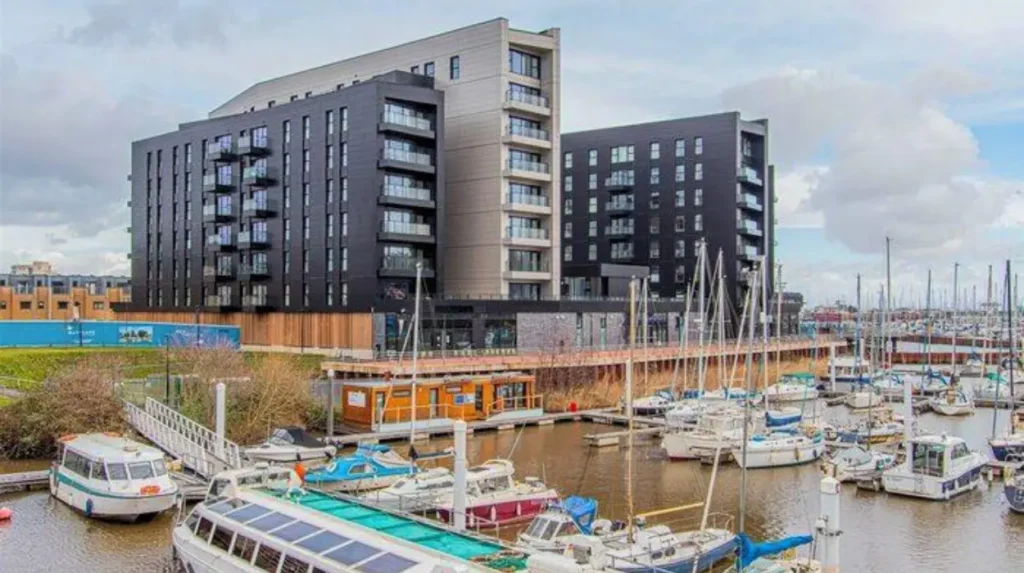
The current Cardiff Council ward structure followed a boundary review that took effect for the May 2022 local elections. Cardiff now has 28 electoral wards, compared with the previous 29-ward structure used before the 2022 changes.
Cardiff’s electoral geography has changed over time.
Before the 2022 local government elections, Cardiff was divided into 29 electoral wards. Those wards returned 75 councillors.
A boundary review resulted in changes that took effect from the May 2022 Cardiff Council elections. The present structure has 28 wards and 79 councillors.
This historical distinction matters when reading older Cardiff Bay articles, election results or administrative documents.
A source published before 2022 can describe a different ward structure or different number of councillors.
The name Butetown itself is not new. Butetown has long been an important electoral area in Cardiff. The changes affected the overall ward structure and representation rather than eliminating the area’s long-standing administrative identity.
For current local government information, the post-2022 structure is the relevant framework.
How many councillors represent the Butetown ward?
Butetown is a multi-member Cardiff Council electoral ward under the current Cardiff structure. Cardiff Council has 79 councillors across 28 wards, with each ward represented by more than one councillor under the current arrangement.
Cardiff’s current local government structure differs from the older arrangement.
Cardiff Council states that its 79 councillors represent 28 electoral wards and that each ward has more than one councillor.
The change followed the electoral boundary review implemented for the 2022 local elections.
This is relevant because older online pages can still contain historical information stating that Butetown returned only one councillor.
Those historical figures should not be treated as the current Cardiff Council structure.
The council’s current election information is the appropriate reference when checking how local representation works.
Is Cardiff Bay also part of the Cardiff South and Penarth constituency?
Yes. The Butetown and Grangetown areas associated with Cardiff Bay are within the Cardiff South and Penarth parliamentary area. A local council ward and a UK parliamentary constituency are different boundaries used for different elections and different levels of government.
This distinction is essential when researching electoral geography.
A local electoral ward is used for Cardiff Council elections.
A UK parliamentary constituency is used for elections to the House of Commons.
The two boundaries do not have to match.
Historical Cardiff administrative documentation identifies Butetown and Grangetown as belonging to the Cardiff South and Penarth constituency.
Therefore, someone living in Cardiff Bay can have:
- a Cardiff Council electoral ward for local government;
- a Senedd constituency for Welsh Parliament elections;
- a UK parliamentary constituency for Westminster elections.
These systems serve different purposes.
Searching only for “Cardiff Bay constituency” can therefore produce confusing results because “constituency” and “ward” refer to different electoral units.
Is Cardiff Bay a community as well as a geographical area?
Cardiff Bay is used as a geographical and urban-area name, but it is not the same thing as Cardiff Council’s Butetown electoral ward. Historical council boundary work considered creating a separate Cardiff Bay community, but the proposal was rejected and the existing arrangement was retained.
Cardiff’s administrative history contains an important example of the difference between local identity and formal boundaries.
During a Cardiff community boundary review, proposals were considered for creating a new community called Cardiff Bay.
The proposed community would have covered an area predominantly south of the A4232 between the River Ely and the Cardiff Heliport. The proposal would have involved territory associated with existing communities around Butetown and Grangetown.
The council ultimately rejected the proposal and retained the existing arrangement.
This history helps explain why Cardiff Bay functions as a strong geographical identity without being identical to a single electoral ward.
Local administrative boundaries can therefore differ from names used by residents, businesses, tourism organisations and property listings.
How can you check the electoral ward for a Cardiff Bay address?
The most reliable way to identify a Cardiff Bay electoral ward is to check the exact address or postcode using Cardiff Council’s electoral information. Cardiff Council provides polling-station and election services that connect voters with their relevant electoral area.
An address-level check is more accurate than relying on a neighbourhood name.
Cardiff Council provides an online Find Your Polling Station service that uses a postcode to identify the relevant polling location.
The council also provides information about voting, elections and local councillors through its elections service.
This approach is particularly useful for Cardiff Bay because the wider area crosses the Butetown and Grangetown electoral geography.
A postcode check is also useful for residents who have recently moved into a new development.
The council advises voters to check polling information because polling stations can change.
For electoral-register questions, Cardiff Council’s Electoral Services team is based at County Hall, Atlantic Wharf, Cardiff.
Does the electoral ward affect local services in Cardiff Bay?
The electoral ward identifies the Cardiff Council representatives responsible for representing local residents. Cardiff Council councillors make decisions on local authority services, budgets and policies, while other public bodies remain responsible for services outside the council’s functions.
Ward representation connects residents with their elected Cardiff Council members.
Cardiff Council states that councillors make decisions concerning local authority services, budgets and the overall level of council services. Examples include education, social services, recycling and waste collection.
The ward itself does not operate as a separate local authority.
Cardiff Council remains the local authority responsible for the entire county and city area.
This distinction matters when residents report issues or seek information.
A council issue in central Cardiff Bay is normally handled through Cardiff Council’s relevant service rather than by a separate Cardiff Bay council.
The ward provides the democratic representation layer within that local authority.
Explore More Area Guide
Llandaff Conservation Areas: Cardiff Road, Insole Court & Llandaff
Grangetown Cardiff Flood Zone: Flood Risk Guide
How does the Cardiff Bay ward boundary matter to residents and businesses?
The ward boundary matters because it determines local council representation and electoral administration. It also provides an important reference for council consultations, local programmes and some area-specific initiatives, including projects linked to Butetown and Cardiff Bay.
The boundary has practical applications beyond election day.
Cardiff Council has used the Butetown ward as a defined area for initiatives connected with Cardiff Bay.
The Atlantic Wharf Growth Fund, for example, identifies businesses with an address in Butetown ward as eligible applicants under its published criteria.
The council also identified the Cardiff Bay parking-zone consultation as being in the Butetown ward.
These examples show why businesses and residents need to distinguish between a general Cardiff Bay address and a formal ward boundary.
A business can describe itself as being in Cardiff Bay while its official administrative records identify a particular ward.
The exact address remains the most reliable reference.
What should you remember about the Cardiff Bay electoral ward?
The central Cardiff Bay area is primarily within Butetown ward, while parts of the wider bay area fall within Grangetown. Cardiff has 28 current electoral wards, and an address-level check is the correct method for confirming the ward for voting and local representation.
The main facts are straightforward.
Butetown is the principal Cardiff Council ward associated with central Cardiff Bay.
Grangetown covers part of the wider Cardiff Bay area, including areas associated with the International Sports Village.
Cardiff Bay is not itself a single Cardiff Council electoral ward.
Cardiff has 28 electoral wards and 79 councillors under its current local government structure.
The current ward structure dates from the 2022 Cardiff Council elections, following a boundary review.
The exact ward for an individual property should be checked by postcode or address, particularly in areas close to the Butetown-Grangetown boundary. Cardiff Council provides electoral and polling-station services for this purpose.
For anyone researching Cardiff Bay electoral geography, the most accurate formulation is therefore: central Cardiff Bay is covered by Butetown ward, while the wider Cardiff Bay area also extends into Grangetown ward.
Which electoral ward covers Cardiff Bay?
Central Cardiff Bay is primarily covered by Butetown electoral ward. Parts of the wider Cardiff Bay area also fall within Grangetown ward, so the exact ward depends on the address.